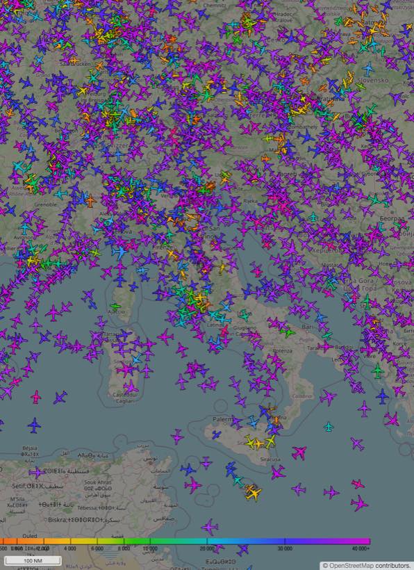
global network · unfiltered data
Open ADS-B data
a global network
born in Italy
About 3,200 receivers all over the world send us ADS-B and Mode-S directly, with multilateration of our own — military aircraft included. Open, unfiltered.
What we collect
| Global ADS-B | Feed from about 3,200 receivers that send to us first-hand, across Europe, the Americas, Asia and Oceania, plus a small share from ADSBHub and OGN. | aircraft.json · 2s |
| Our own MLAT | Multilateration on aircraft without full ADS-B transponders, military included. Our own server, about 3,200 synchronised receivers — exact count and date → | mlat-server · port 30100 |
| Mode-S BDS50/BDS60 | True Air Speed, magnetic heading and Mach number via Mode-S Comm-B. Used to reconstruct upper-troposphere wind profiles. | BDS50 · BDS60 |
Ongoing research
From airspace to science
Upper-troposphere wind measurement from aircraft in flight
Commercial aircraft are distributed meteorological sensors at altitude. By extracting wind components from Mode-S messages (BDS50/BDS60) and comparing them against ERA5 reanalysis and IASI satellite profiles, we are validating the quality of avionics data as an independent meteorological source.
Developers & AI agents
Query the data via API or from your AI
Public REST API and an MCP server for Claude, ChatGPT and other agents — a free, instant key by email, no manual approval; plans from €9/month when you need more volume. See also llms.txt.
find_aircraft Look up by ICAO hex, callsign or registration
aircraft_near Aircraft within a radius, anywhere in the world
special_traffic Military, PIA or LADD traffic
aircraft_history One aircraft's historical track for a day — self-serve, since 2022
aircraft_profile One aircraft's profile: identity, live status, history
overflights The aircraft that flew over a place between two times
notable_traffic Recent emergencies and military traffic in an area
set_my_location Your saved position, for “near me”
How to connect it to Claude or ChatGPT, and the map in the chat →
Contribute
Join the network
With a Raspberry Pi and an RTL-SDR antenna (about €55–110) you send your receiver's data to the network. In return you get the API with Pro limits for free, and Lightcone, which shows the aircraft that passed near you and you did not receive, and how you compare with nearby receivers.